
The remains of the old Cyanide Mill Processing Plant at Wonder, Nv.
Wonder, Nevada - Gravel Bike Ride

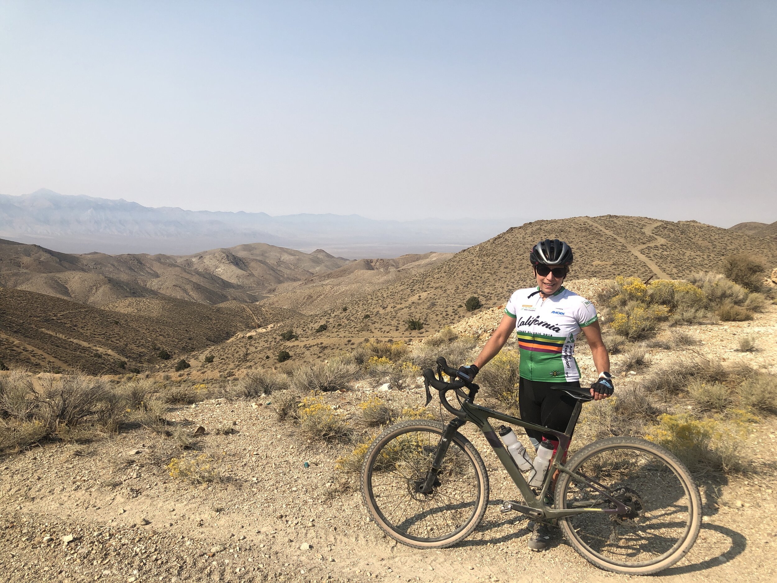
This is where you start your ride to Wonder.
Gold and Silver were discovered on the Western Slope of the Clan Alpine Range about 55 miles East of Fallon just outside the Navy Bombing range in Dixie Valley. In 1906 T.J. Stroud discovered a rich deposit of Silver and Gold Ore, and the stamped to Wonder began. By 1913, a huge 200 ton cyanide mill was built in the side of the mountain, and the foundation for this mill still exists today. The mine was so successful that the longest power transmission line in the world was built from Bishop, Ca to the mine site, about 180 miles. Extracting gold from the ore requires a ton of water, so a water line was installed 10 miles to the north up Horse Creek Canyon. A 4 inch steel water line was installed with multiple couplers that would allow for regular sediment cleaning in order to keep the water running, and incorporated the first telegraphic monitoring system. This water line was revolutionary for it’s time, and many of the hurdles they encountered and solved are still being used in waterlines today. This water line provided the mine site, and the town with 185,000 gallons of water every 24 hours. Once you go out there and look around, you immediately wonder where this water came from. This water line was built 2135 ft above the valley floor, and ended taking 1/2 the flow rate of Horse Creek. The water then ran down the pipe into Dixie Valley and back up 465 ft to a 100,000 gallon holding tank above the mine site at Wonder. It is said that this tank was always overflowing. During the hard winter of 1912-1913, the line froze and ruptured in many locations, and was then buried into the ground at a minimum depth of 12 inches to keep it from freezing, and a watchman was placed at the water source to ensure the intake did not freeze.

Wonder was large. Once the gold rush was in full tilt, building of the town commenced, and in 60 days Wonder would have 5 hotels, 2 banks, 6 general stores, 2 lumber yards (that could not keep up with demand.) many saloons, and every line of business you can imagine. Although it’s permanent population was only about 1200, the cost of living was extremely high because if it’s remote location. So many miners would commute from the town of Fairview down in Dixie valley, and it would take more than 1,000 head of horses to constantly transport supplies from Fallon to Wonder.
Wonder ended up producing over $6,000,000 in gold and silver, and in 1919 the mill was closed down, buildings were torn down and moved to newer, more promising mining sites. Here is a link for a much more detailed outline of Wonder.

One of the mine shafts still open.
To get to Wonder from Reno, take I-80 East to Fernley. Take the East Fernley exit and follow Alt Hwy 50 to Highway 50 to Fallon. Continue about 55 miles past Fallon into Dixie Valley. Turn left on Hwy 121, and in just over a mile you will see a dirt road on your right with a closed barbed wire gate. This is your start, and here is the Strava Link for the ride.
This is the Google Map Link
This is the Ride with GPS Link
The view from Wonder looking north.
This is a non technical jeep road all the way to Wonder. The road climbs for 12.5 miles and 1800 feet. In 7 miles you will enter a canyon, and the road turns due north, and at about the 9 mile mark you will hit a “Y” in the road. The left is smoother and a little sandy in a couple areas, the right is a little rockier, but both end up coming back together right at the outskirts of Wonder. Continue on the main road, and you will see the ruins to the left up the mountain side, and there is a road that drops into the gully and ends up at the base of the ruins. But stay on the main road and it will loop around and drop you out above the ruins. Then you can hike around from there. Once you are done exploring, it is 12.5 miles mostly downhill back to the car.

The view of your return trip. This photo is taken at Wonder, looking at the road returning to the start.
WHEN ACCESSING THE RIDE WITH GPS LINK BELOW, THERE IS A DROP DOWN MENU ON THE UPPER RIGHT OF THE MAP. THIS DROP DOWN MENU ALLOWS YOU TO CHANGE THE KIND OF MAP YOU ARE LOOKING AT, FROM A GOOGLE SATELLITE MAP TO A USGS TOPO MAP, AND ANY OTHER MAP IN BETWEEN. IF YOU WOULD LIKE THE GPS FILE FOR YOUR GARMIN, FEEL FREE TO E-MAIL OR CALL THE SHOP.