Toll Road - Loftis Loop - South Reno
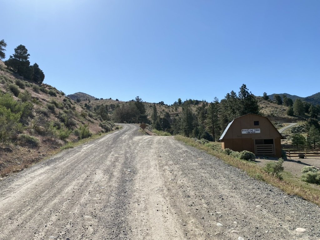
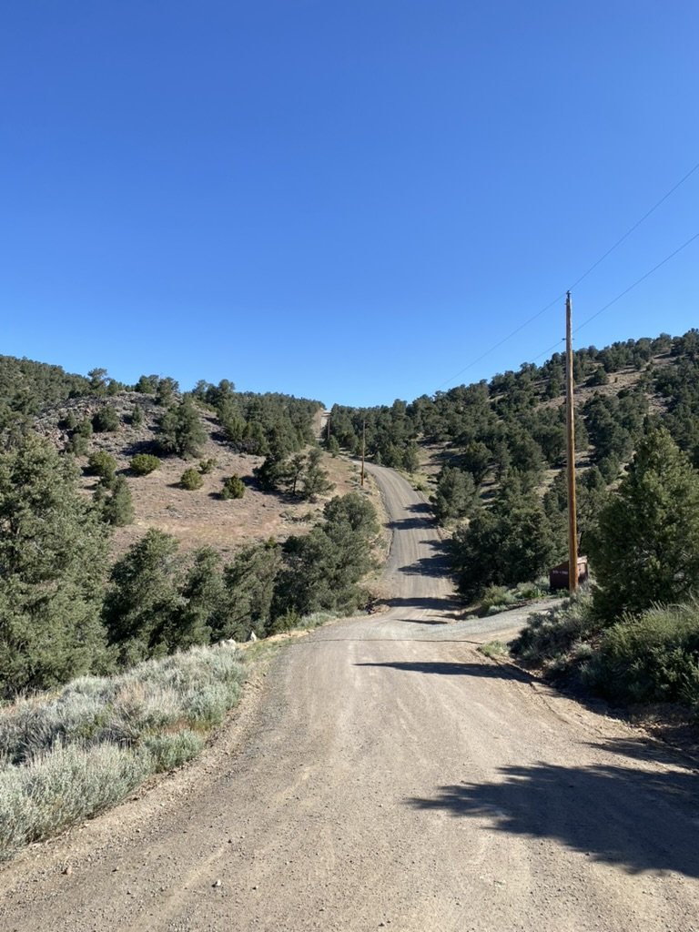
The start of the climb at The “Foot of the Grade” Barn located at the intersection of Bain Springs Rd, and Toll Road. Stay left on Toll Road.
During the Comstock Lode silver and gold rush in the mid 1800’s, there was limited access to Virginia City, Nv. Most of the access came up from Carson City / Dayton, but no easy way from Reno. Now known as Hwy 341, Geiger Grade, a paved state highway to Virginia City, built and paved in 1936. Before Hwy 341, the first trail was up Bain Springs Road. This is now a closed access road that has mostly washed out, and terminates in the valley on someone’s private property, so is almost impossible to navigate. You can ride down to the actual Spring, but then you have to hike-ride-hike a bike back up to the top of Geiger Grade.
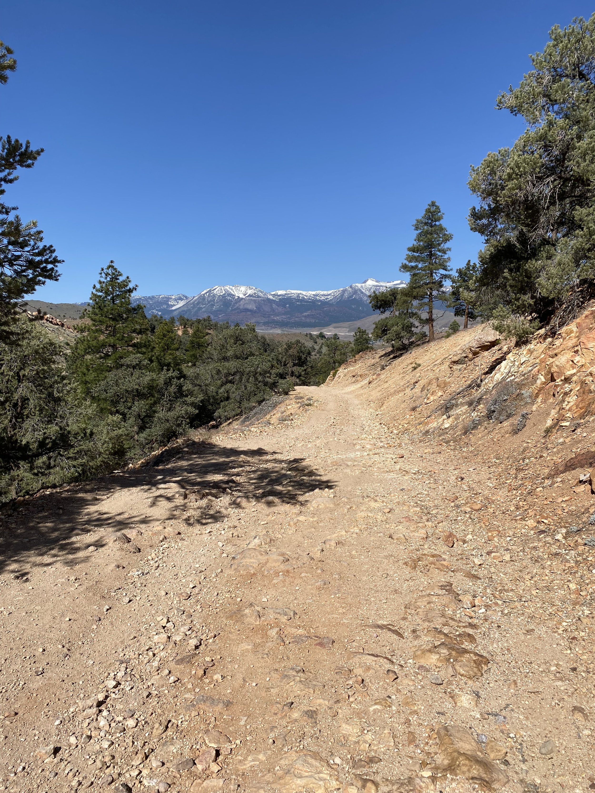
Rocky lower section of Toll Road.
This original route was steep and too difficult for wagons to access Virginia City, so on November 29, 1861, the State of Nevada granted the rights for Geiger and Co. to create a “Toll Road” to Virginia City that would be appropriate for wagons to traverse. This would then connect Reno to Virginia City. This Toll Road was used as the only Reno - Virginia City connector until the paved Geiger Grade, HWY 341 was established in 1936.
The lower section of Toll road is paved, then a couple miles up, it turns into broken pavement, then at “The Foot of the Grade” (A sign on a barn on private property, at the intersection of Bain Springs Road and Toll Road, is where the road turns to dirt and climbs.).
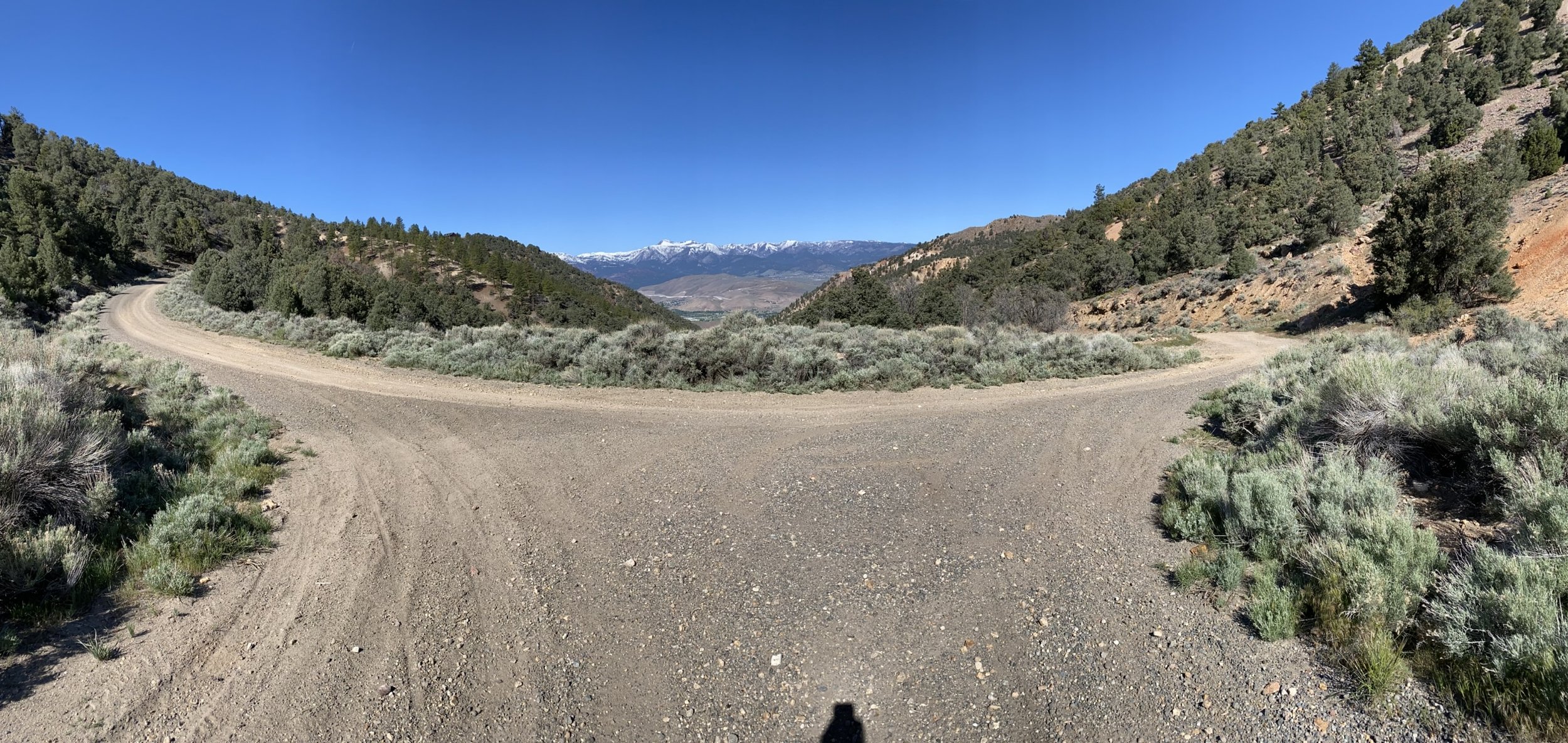
The first 2/3rds of Toll Road are loose and rocky. Great for a Mountain Bike, but a challenge for a Gravel Bike. Once you hit the 2/3rds mark, the road smooths out, takes a sharp hairpin right turn known as Robbers Roost, and continues a smooth but steep climb up to Virginia Highlands and the Paved Hwy 341, Geiger Grade.
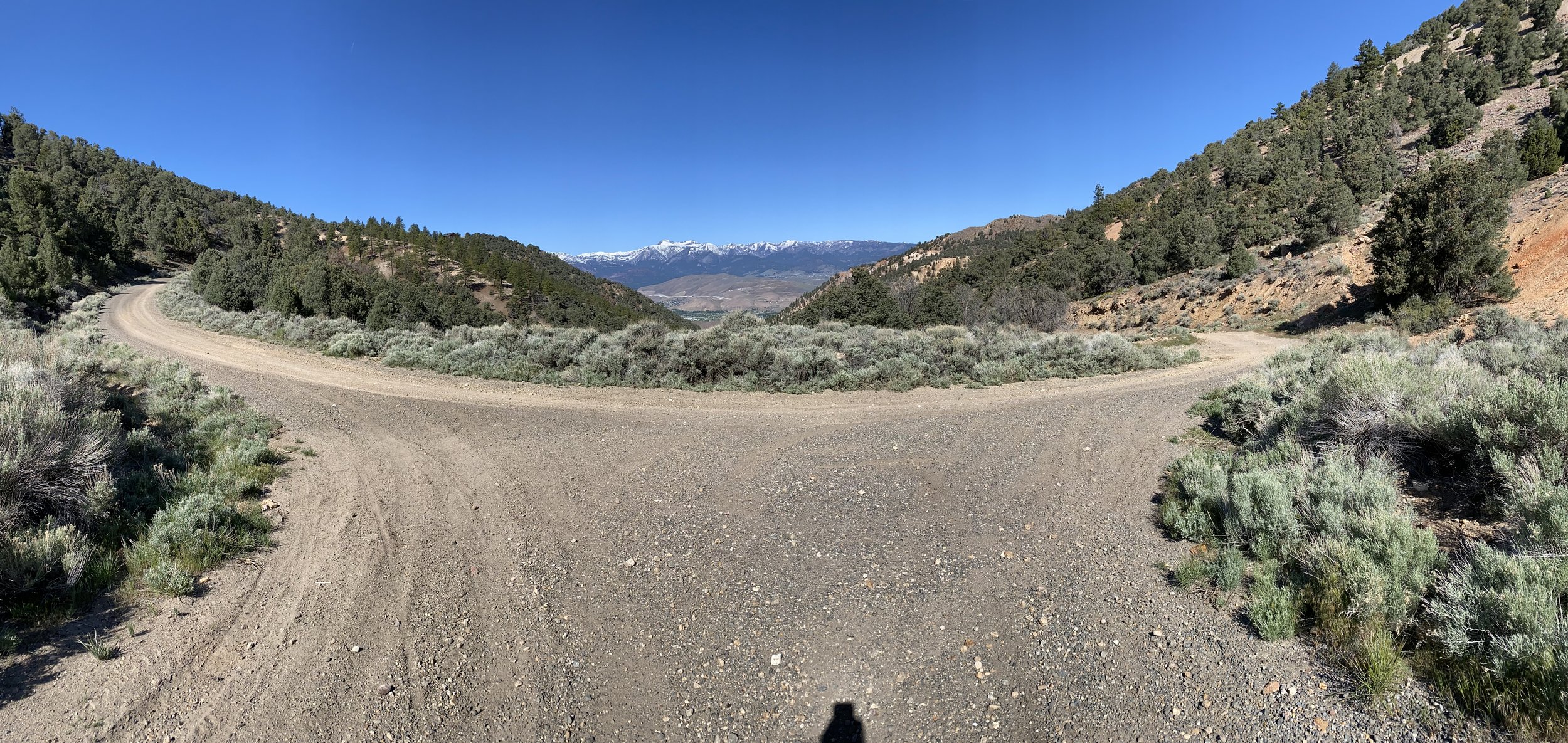
Robbers Roost is where wagons heading up or down would have to slow way down for the hairpin turn. Robbers would lay in wait for the wagons to slow and rob them.
A great way to access this ride is to park on the West corner of Kivet Ln.(Kivet Ln. is on the left, and it changes names to Hot Springs Dr. on the right) and Toll Road. This will give you a 1.4 mile paved warm up before you reach the dirt at “The Foot of the Grade” Barn where the climb really begins.
This ride can be ridden a number of ways. You can go up Toll Road to Virginia Highlands and turn around and head back down. If you are doing this ride, you can park just past Ravazza Dr. on the right side and ride up from there. Saves you about a mile of pavement.
I have been looking to make this ride into a loop. I love riding up Toll Road on the Gravel Bike, but hate coming down on the Gravel Bike. It is loose, rocky, and challenging. Not a ton of fun, and much better on a Mountain Bike. So, after many different trips all over the hills, I finally found a loop. Here it is.
Park on the corner of Kivet / Hotsprings Rd. and Toll Road. Ride up the pavement for 1.4 miles to “The Foot of the Grade.” Here it is smooth but gets steep. At 1.7 miles from the top, you will swing to the right. The left is a driveway. Take this right, and the road now gets crummy. Rutted, loose, rocky, but you can almost always find a clean line somewhere. It is constantly changing due to 4wd and motorcycle traffic. Continue picking you way up the hill and at 3.3 miles from the start you will hit the right sided switch back at “Robbers Roost.” Here the road gets super smooth, but gets even steeper. Continue uphill, and at 3.8 miles you will be past the steepest section, up to 15% grade, of the road. It stays smooth to the top, and the gradient continues to diminish the closer you get to the top. You will reach Hwy 341 - Geiger Grade at mile 4.5. Here you can turn around, or make a loop out of it. The loop adds more climbing, but the roads you follow are much smoother.
“Robbers Roost”
For the loop, cross Geiger Grade - Hwy 341, and the road changes name to Cartwright Rd., and is paved. You climb to 5.3 miles from the top, and take a left off the pavement back on the dirt on Hamilton Rd. A quick descent, and take a left on Globe Rd. There are 2 little climbs on Globe, and in 6 miles from the start, you will take a right on YellowJacket Rd. The road turns to a fast downhill. If you can gut the speed, you can just roll up the other side. Then you ride across the ridge, and you plummet down into another smooth wash, and up the other side. Again, if you can keep up the speed, you can just roll up the other side.
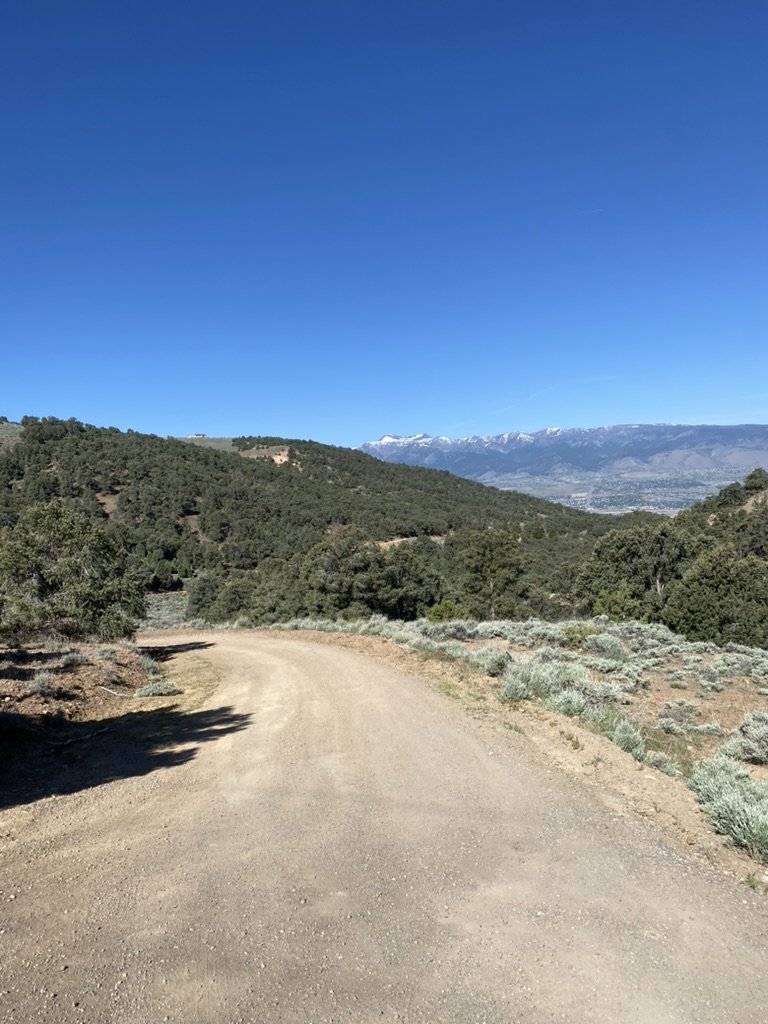
Looking West down Loftis Dr.
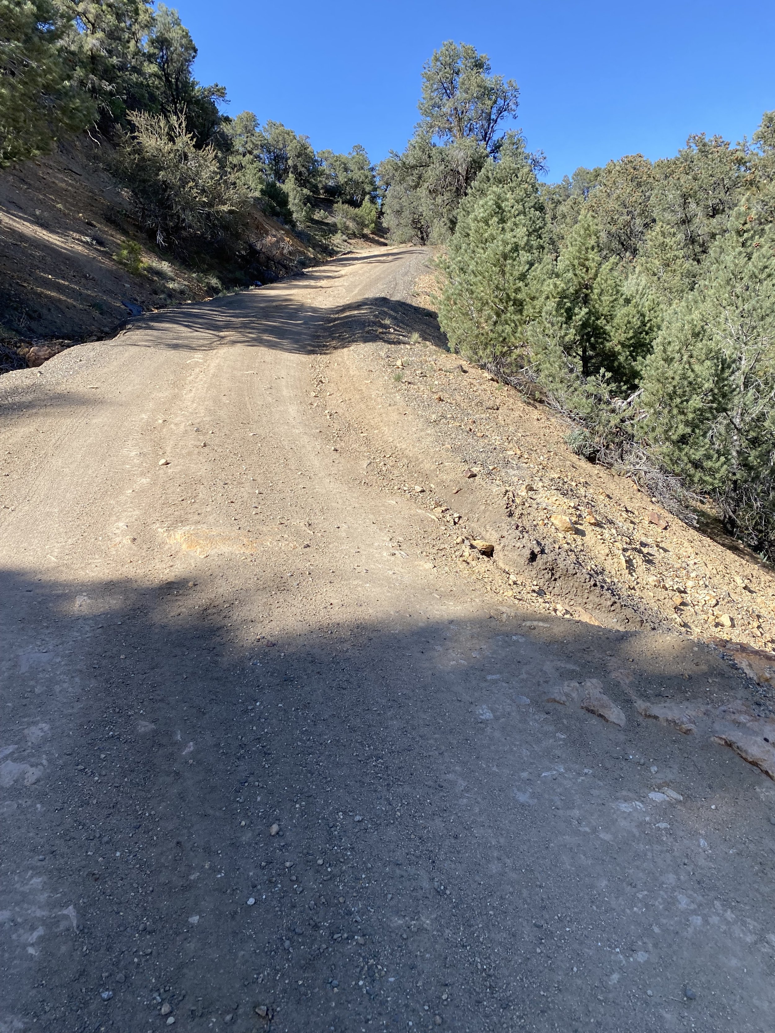
Once you clear that second roller coaster you will be heading down hill smooth and fast. In front of you is a intimidating climb, but you will take a left on Loftis right before the bottom of the downhill. So watch your speed, and in 6.6 miles from the start, just past the dirt driveway on the left is left on Loftis Dr. If you want a challenge, you can climb up YellowJacket to the top. This is .52 miles with an average gradient of 9.6% maxing out at 25.7%.
Looking up the YellowJacket Rd. Climb.
Once on Loftis, it is just one road back to Geiger Grade, Hwy 341, and at 8.6 miles from the start you hit that pavement. Take a right on Geiger Grade, and at 10 miles from the start, you have an option. You can cut across Geiger Grade, but be careful of traffic behind you, and in front of you in the blind corner. There is a little pull out on the left side of the road, and that is what you are heading for. If you don’t feel comfortable cutting across Geiger Grade, continue down Geiger, and take a left on Kivet and take Kivet Ln. back to your car.
If you cut across Geiger Grade, which is what I do, and I may have to wait on the right side of the road for traffic to clear, head for the large rocks that keep 4wd vehicles from accessing the dirt road on the other side of the rocks. Ride through the rocks, and take a right. The road is a little steep, rocky and loose. Pick your way through, or just walk through the little wash, and at 10.1 miles from the start you will take a hard left on a faint dirt road. Follow this road to a super short singletrack that will drop you out on Temple Hill Road, and take a right. The left is private property, so take a right and head downhill, and follow Temple Hill Road to Toll Road. Take a right and in 1 block you will be back at your car parked on Kivet - Hot Springs Dr.
