
Sardine Peak Fire Lookout is one of 3 fire lookouts North of Truckee, Ca. Sardine Peak Fire Lookout, Babbitt Peak Fire Lookout (both in operation) and Verdi Peak Fire Lookout (not in operation and somewhat in a state of disrepair.) Both Sardine Peak and Babbitt Peak Fire Lookouts are beautiful Gravel Bike Rides. The Forest Service graded the road to Sardine Peak Fire Lookout in 2021, and it is much smoother than it once was. Verdi Peak Fire Lookout is probably best done on a Mountain Bike because it gets super rocky the last couple of miles to the lookout. All of these lookouts are best done in spring or fall when the temps are lower. If you want to attempt the rides in the middle of summer, start early and take lots of water.

Sardine Peak Fire Lookout - Truckee, Ca.

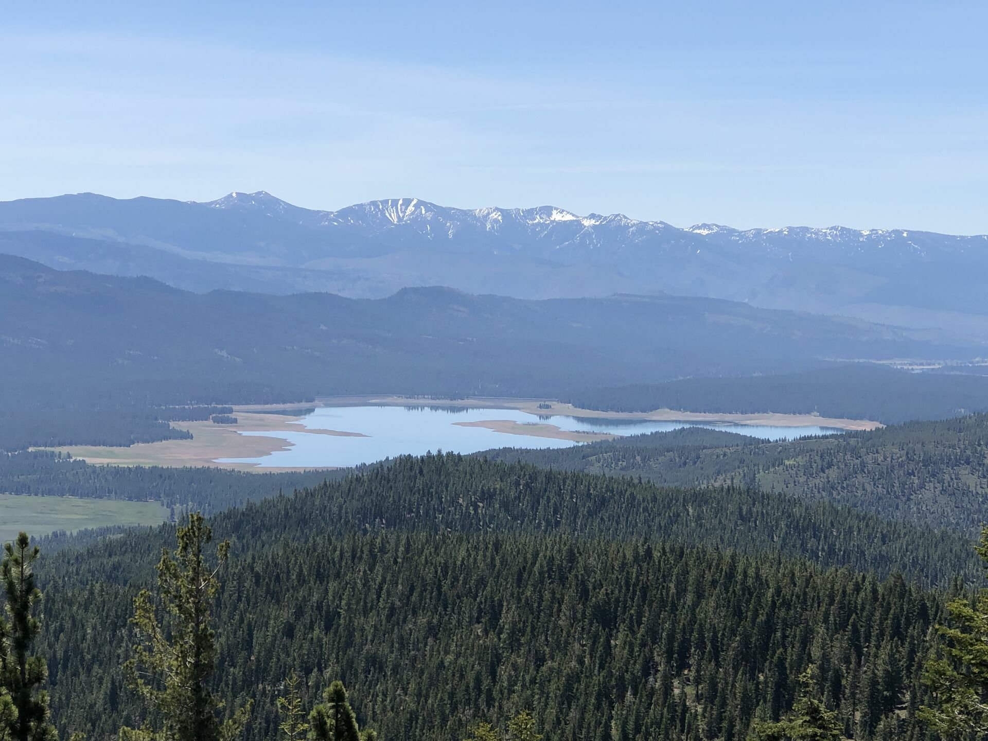
Sardine Valley
From Reno, take I-80 towards Truckee to the Hirschdale Exit. Take the exit, and stay strait towards Boca Reservoir on Stempede Dam Road. You will pass Boca Reservoir and continue up the canyon along the Little Truckee River to Stampede Reservoir and just beyond. When the pavement ends, you will be at a “T” intersection of Henness Pass Road. Park on the right in the dirt clearing which is 10.5 miles from the Hirschdale Exit on I-80.

Jump on your bike and head west, or left at the “T” intersection on Henness Pass Road. You will drop into a small meadow and head over a wooden bridge, then in 0.6 miles, stay to the right. The road will start a small climb, then drop you out on the Eastern edge of beautiful Sardine Valley. When you hit the valley at 1.6 miles from the car, you will hit a “T” intersection. Take a hard left and follow the road around the South side of Sardine Valley. The road is smooth and fast, and will turn to the North where you will see an old corral on your right, and just past that is another “T” intersection. If you were to go strait North for 13.6 miles, you would eventually end up at Loyalton, Ca. However, you want to take a right and follow this road and little creek (Henness Pass Road) to 5.2 miles from the car, where you will take a hard right. This is where the climb really starts. Follow this road (Lemon Canyon Road) to 6.6 miles from the car, and take a hard right. From here to the top, the road is smooth and well defined. There are a couple small off shoot roads, but it is clear that they are not as smooth, or as defined, and not roads you want to be on. Stay on the main defined road, and at 10.5 miles from the car you will be almost at the top of the climb. The road will flatten out, and you will see a road coming in from your right. This will take you to Hwy 89, but a super rocky ride. Stay hard left, and the road will swing around to a gate, then up the last pitch to the lookout. Enjoy your view, and take a look at Mt. Lassen poking it’s face out to the west, then retrace your path home.


IF YOU WANT TO USE THE RIDE WITH GPS APP, THERE IS A DROP DOWN MAP MENU ON THE UPPER RIGHT OF THE MAP. THIS WILL ENABLE YOU TO CHOSE ANY MAP FROM USGS TOPO TO A GOOGLE SATELLITE MAP, AND ANYTHING IN-BETWEEN. IF YOU CAN’T DOWNLOAD THE GPS FILE, EMAIL ME OR CALL THE SHOP AND WE CAN DOWNLOAD THE FILE AND SEND IT TO YOU.