There are many different ways to make this ride longer. I am uploading the most direct route to the Babbitt Peak Fire Lookout. If you want to make it longer, feel free to contact me at the shop or via email and I can advise longer routes.

The view of the Dixie Fire (Looking North) from the Babbitt Peak Fire Lookout. (2021)

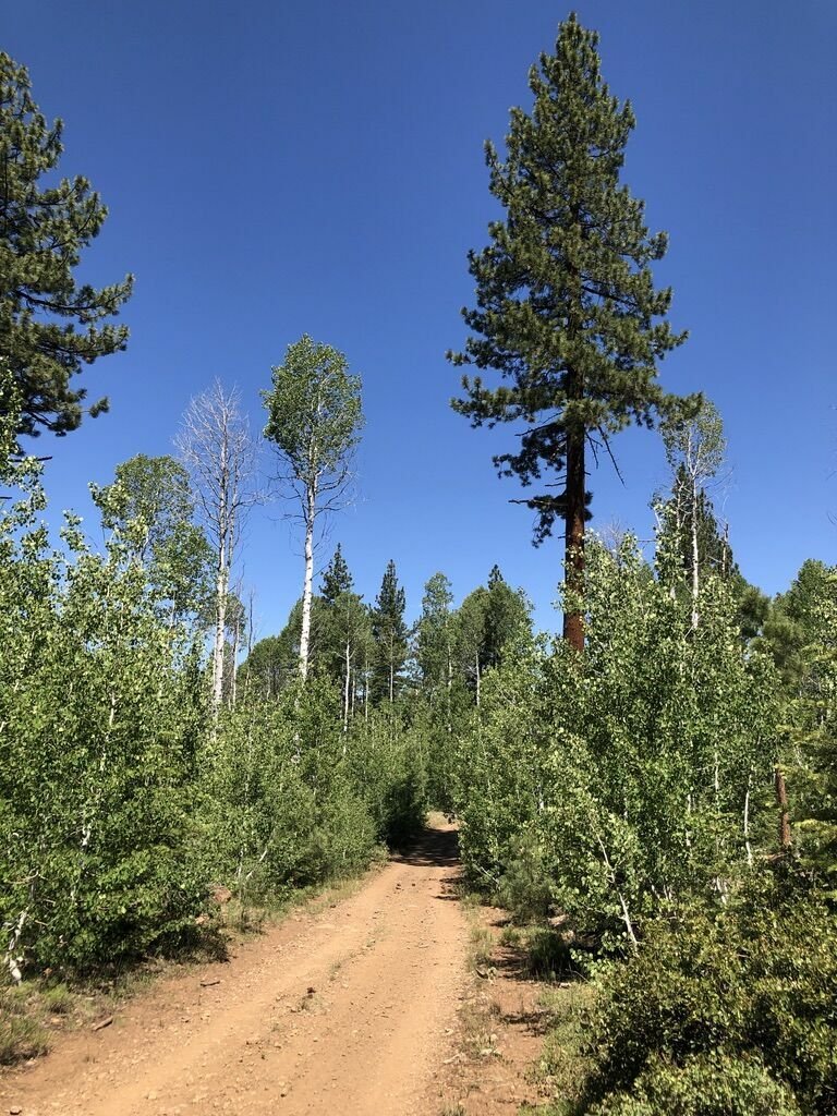
The small aspen grove about 1/2 way into the ride, just past Jones Valley.
Babbitt Peak Fire Lookout is an active Lookout that is occupied during fire season. This is a tough ride, not because of anything very technical, but because it is all uphill from the start to the lookout, and equally taxing on the long downhill back to the car. Once you get to the top, the views are amazing. I would recommend doing this ride in the spring or fall, or early in the morning for cooler temps. It can get super hot in the middle of the day during the summer months.
From Reno, take I-80 towards Truckee to the Hirschdale Exit. Take the exit, and stay strait towards Boca Reservoir on Stempede Dam Road. You will pass Boca Reservoir and continue up the canyon along the Little Truckee River to Stampede Reservoir and just beyond. When the pavement ends, you will be at a “T” intersection of Henness Pass Road. Park on the right in the dirt clearing which is 10.5 miles from the Hirschdale Exit on I-80.

The view and road from just below the Fire Lookout. Stampede Reservoir below.
To start this ride, take a left at the “T” on Henness Pass Road, and almost immediately, .3 miles, you will take a hard right and start your climbing. At the .6 miles from the car, you will stay left and cross the stream. Continue strait as there is another dirt road to the right on the other side of the stream that you do not want to take. Stay strait, heading West. You will quickly drop out into a flat around the North side of beautiful Sardine Valley. At 1.6 miles from the car, continue strait west, staying on the North side of the valley. At 2.2 miles from the car, take a hard right heading North, away from Sardine Valley, and this is really where your climb starts. This section of the climb has some short but steep sections that are a little loose, but not bad. At 4.9 miles you will come to another “T” intersection. Turn right at this “T” and you will continue to climb, then have a quick downhill into Jones Valley. When you hit the valley, you will have another “T” intersection. Stay right heading through the valley and into a beautiful small aspen stand. This stand is beautiful in the fall. From here to the top of the climb, you will be traveling directly North, and strait up hill to the Fire Lookout. Once there, look around, enjoy the views, and retrace your steps back home.